
Hydrographic Survey of A River Channel in Texas
Background
SDI was contracted by an Engineering Firm to perform an acoustic bathymetric and sub-bottom survey at a river channel in north Texas. The aim of this survey is to determine the present water bottom and sediment bottom elevation as well as sediment thickness distribution at the survey time.
Survey
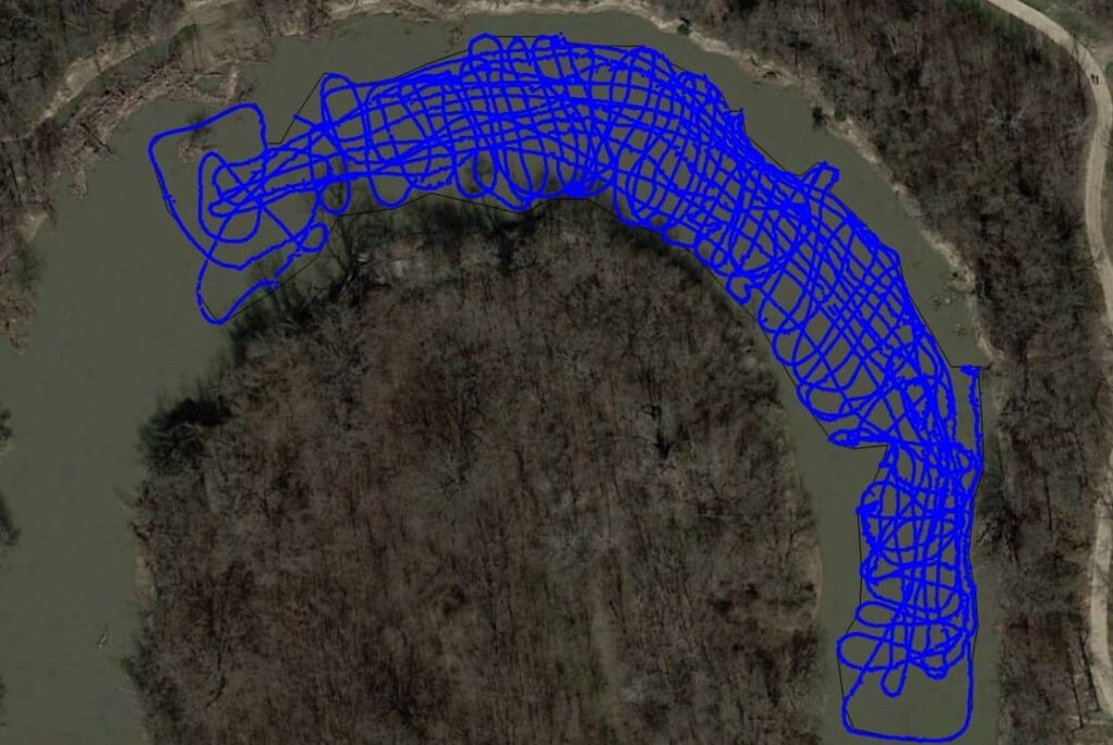
A Hemisphere S320 / A325 RTK GPS GLONASS based survey system was used to provide real-time kinematic GPS horizontal and vertical control during the survey. The system was used to record a 3-hour data set for the derivation of a true geodetic position. The BSS+3 Sediment Mapping system was adopted to carry out the acoustic survey. The BSS+3 used in this operation included operating frequencies of 200 kHz using a 9o beam transducer for surveying the water bottom. It also included a 50 kHz and a 24 kHz sub-bottom transducer array intended to provide sub-bottom penetration and still remain portable for use on small boats. The BSS+3 system was equipped with a Hemisphere S320/ A325 RTK GPS GLONASS base survey system for DGPS corrections. The river boundary of the survey was digitized from the most-recent digital orthophoto quarter-quadrangle images (DOQQs) for the survey site.
Equipment Used
- SDI BSS+3 Sediment Mapping system
- SDI DJB-1243 dual jon boat
- Hemisphere S320/ A325 RTK GPS GLONASS base survey system
Results
Collected raw singlebeam data was input into SDI Depthpic for data processing. The output of this software is a file for the water bottom of XYZ locations and depths and similar XYZ files for each sub-bottom layer reported. The water bottom XYZ files were combined and gridded. The resulting grid was blanked by a perimeter enclosing the areas surveyed. This blanked area was then contoured and plotted. The surface area XYZ data was further blanked to the water covered portion of the site and gridded and contoured for comparison to the sub-bottom data. The volumes for the sediment layers were calculated by grid comparison.

Contour Plot of Water Bottom

Sediment Isopach Map

Anita Vijay Gaikwad
So lovely place